Climatic Observations and Modeling
Examples of interactive data visualization and real-time geospatial analysis and modeling:
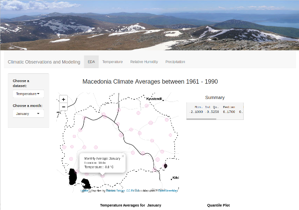
Climatic Observations and Modeling
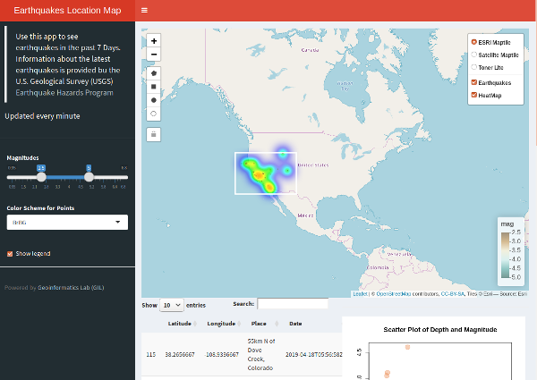
Location Map of Latest Earthquakes
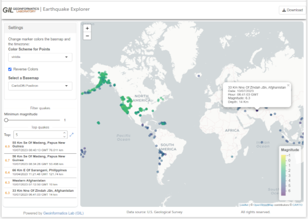
Earthquake Explorer
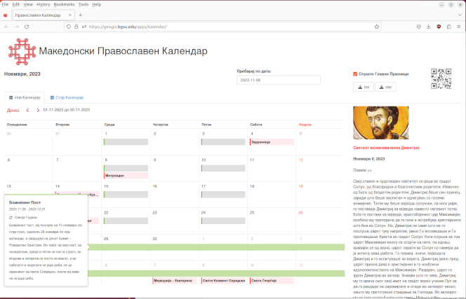
Macedonian Orthodox Calendar
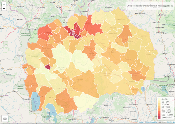
Municipalities of Macedonia
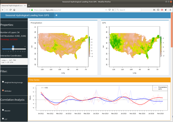
Seasonal Crustal Vertical Displacements from Hydrological Loading
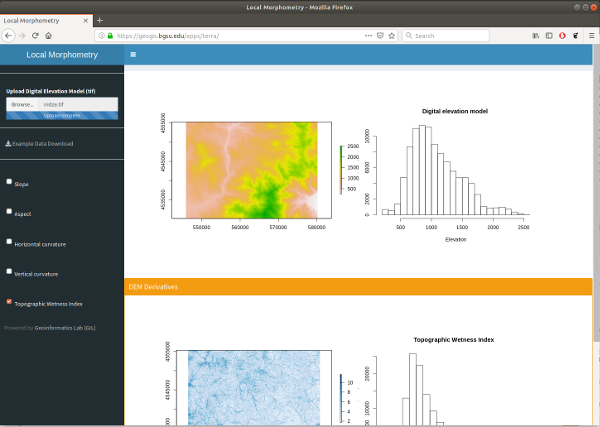
Example of Interactive Terrain Analysis
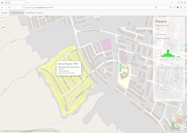
Example of Taxlots using PostGIS and PostgreSQL
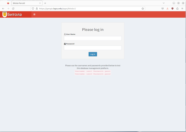
Example of Taxlots using Password Protected PostGIS and PostgreSQL
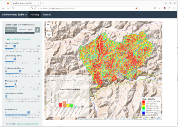
Example of spatial modeling of landslide susceptibility
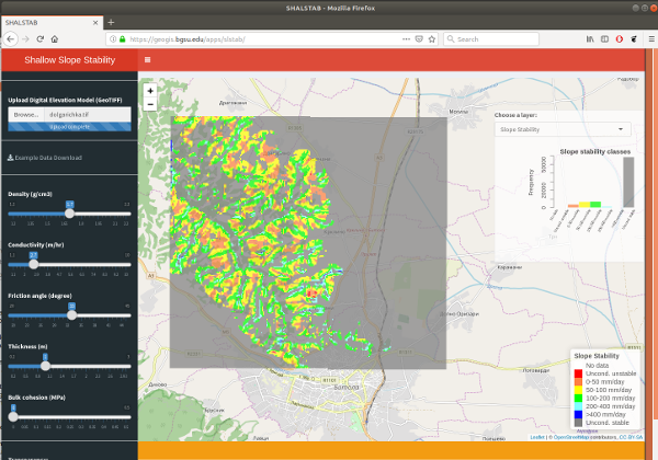
Landslide Susceptibility Mapping